A – BRONX KILL WATERFRONT PARK
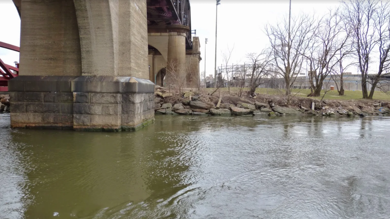
The site proposed for the “Bronx Kill Waterfront Park” was the last significant open green space on the Mott Haven-Port Morris waterfront and, of particular note, lines the Bronx Kill waterway, which has served as a canoeing and kayaking destination for South Bronx community groups, who have been forced to access the waterway from Randall’s Island despite its potential access from the South Bronx shore. The Bronx Kill has also been included in Vision 2020 NYC Comprehensive Waterfront Plan as an area in which to explore improvements and support habitat restoration and, where feasible, the navigability of the Bronx Kill for kayaks and canoes. In addition to a boat launch, the Bronx Kill Waterfront Park has also been re-envisioned to contain a low-cost earth and rock auditorium as well as low cost soccer fields, basketball courts, and a playground.
The site would also contain a memorial to the Ranchaqua Native Americas, as historic evidence exists of a Ranchaqua settlement and burial ground on the site. The southern extension of the Bronx Kill Waterfront Park would stretch along the coastline from St. Ann’s Avenue to the Hell’s Gate Bridge, directly connecting the park to the “Randall’s Island Connector”, a pedestrian and bicycle bridge connecting the South Bronx to Randall’s Island.
This coastal site is also important because it is located in a Zone B flood zone of an SMIA and is adjacent to a fossil fuel power plant. This proposal can help mitigate the effects of climate change and potential flooding of industry and electrical infrastructure on the waterfront in the future.