C – LINCOLN AVENUE WATERFRONT PARK
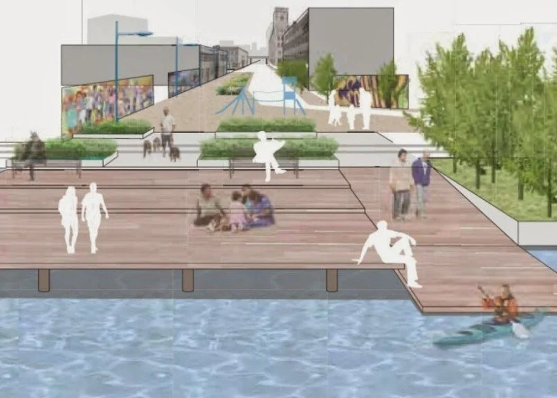
MIT Plan
This site is proposed to encompass Lincoln Avenue to Alexander Avenue from East 132nd Street to the Harlem River. This site is already being used as an ad hoc fishing site and is easily accessible by pedestrians. It provides direct access to the waterfront, and in a recent project conducted by Meta Local Collaborative, community residents expressed overwhelming enthusiasm for using this space for relaxation, celebrations, and recreation. MIT produced a plan for this waterfront site; see page 68 here, and renderings such as the above have been prepared by local architects and other subsequent academic institutions. This site is also important because it is in a flood zone of a SMIA and was impacted by Hurricane Sandy with upwards of three+ feet of flooding. This proposal can help mitigate the effects of climate change and potential flooding of industry and waste transfer stations along the waterfront in the future. It is also within an area proposed to be eliminated from SMIA designation and is included in Vision 2020. The site is also included in the NYC Parks Department Harlem River Watershed and Natural Resources Management Plan for the Bronx.
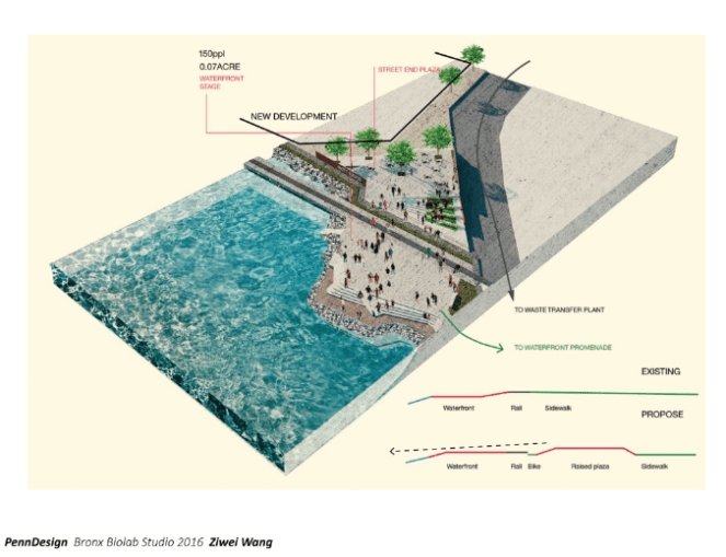
PennDesign Bronx Biolab